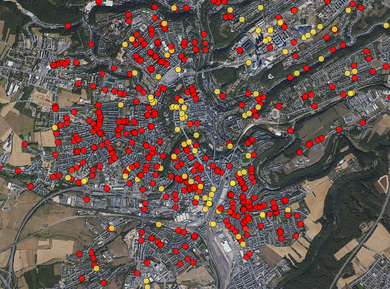
Safe Crossing Project - Potentially unsafe pedestrian…
Application
Published on May 27, 2022 by Zentrum fir Urban Gerechtegkeet

This is a degraded experience of Portail Open Data (staging environment). Please enable JavaScript and use an up to date browser.
Inspire version of the 2017 Orthophoto of the ACT.
This image has been reprojected to EPSG:3035
The pixel size is 20cm.
Data has been recorded around June 22nd 2017 for the entire country if Luxembourg.
Description copied from here
July 18, 2018
Data description filled
Files documented
License filled
Update frequency not set
File formats are open
Temporal coverage not set
Spatial coverage filled
All files are available
Update frequency not set
Temporal coverage not set
Application
Published on May 27, 2022 by Zentrum fir Urban Gerechtegkeet

There are no discussions for this dataset yet.
There are no community resources for this dataset yet.
5b2ce07fa30b1b118dc463d4
June 22, 2018
Unknown
July 18, 2018
Other