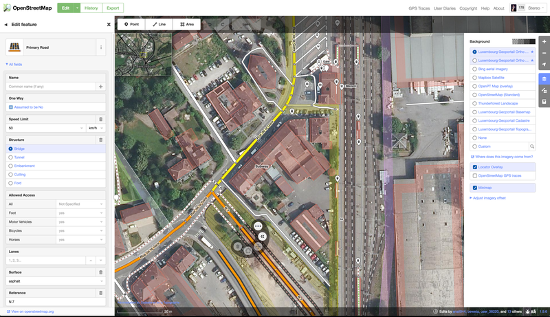
Luxembourg's orthoimagery and maps for OSM editors
Application
Published on July 11, 2016 by OpenStreetMap

This is a degraded experience of Portail Open Data (staging environment). Please enable JavaScript and use an up to date browser.
Orthophotos du projet de Remembrement viticole Stadtbredimus 2. Vol effectué par Hansaluftbild le 11 mars 2015.
125 Mo version comprimée
lien Geoportail: https://map.geoportail.lu/theme/main?lang=fr&version=3&zoom=15&X=708226&Y=6371653&rotation=0&layers=417&opacities=0.75&bgLayer=streets_jpeg
March 29, 2022
Data description filled
Files documented
License filled
Update frequency not set
File formats are open
Temporal coverage not set
Spatial coverage filled
Update frequency not set
Temporal coverage not set
Application
Published on July 11, 2016 by OpenStreetMap
There are no community resources for this dataset yet.
5b90c80888d0b26d73a314c6
September 6, 2018
Unknown
March 29, 2022
Other