Données cartographiques OSM
From OpenStreetMap
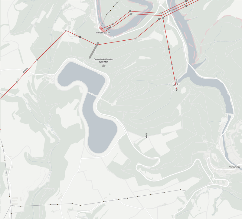
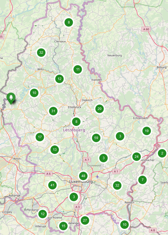
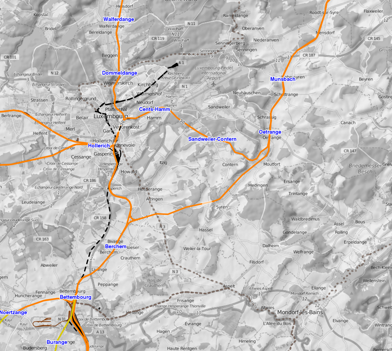
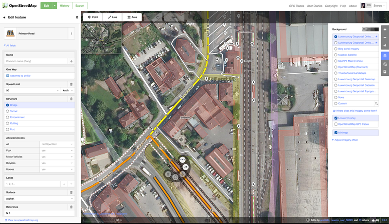
Extraits de la base de données géographique OpenStreetMap, carte collaborative. Les données sont issus du service d'extraction de la société GeoFabrik. Plus d'infos sur la page GeoFabrik de l'extrait.
Metadata quality:
Data description filled
Files documentation missing
License filled
Update frequency not followed
File formats are open
Temporal coverage not set
Spatial coverage not set
All files are available
Updated 3 days ago


