QGIS Plugin Geoportail LU
Published on April 26, 2018
Dipl. Geogr. Frank Broniewski
Help and Support for the most successful OpenSource GIS QGIS. I offer Remote Support with telephone and Teamviewer Workshops QGIS project realisation Plugin development Have a question? I am happy to answer!
1 reuses
Informations
- Type
- Application
- Topic
- Others
- ID
- 5ae19b2ca30b1b2b72a9828d
Publication
Embed
Permalink
Description
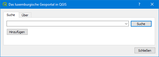
Use the services from the luxembourgish Geoportail from within QGIS. This plugin for QGIS 3 allows you to search for places in Luxembourg and adds the result to your map in QGIS. You can search for
- Addresses
- Land parcels
- Villages and cities
and everything else you can search in the official search bar.
Future releases will add the option to load public map layers from the Geoportail into QGIS.
You can install the plugin from the official plugin repository from within QGIS. Just search for "Geoportal LU". Alternatively you can download the archive from the plugin's homepage and install the ZIP through the QGIS plugin installer interface.
CHANGELOG:
2020-05-20 I released version 0.16 of the plugin to fix an issue with CRS axis order introduced with GDAL 3.0
Used datasets 1
Discussion between the organization and the community about this reuse.
More reuses
Discover more reuses.
-
Inondations.lu widget shown in geoportail
Visualization
Published on June 24, 2022 by Administration de la gestion de l'eau
-
-
Safe Crossing Project - Potentially unsafe pedestrian…
Application
Published on May 27, 2022 by Zentrum fir Urban Gerechtegkeet
-