Remarkable Trees in OpenStreetMap
Published on October 1, 2019
OpenStreetMap
OpenStreetMap (OSM) est un projet qui a pour but de constituer une base de données géographiques libre du monde (permettant par exemple de créer des cartes sous licence libre), en utilisant le système GPS et d'autres données libres.
1 datasets
4 reuses
Informations
- Type
- Visualization
- Topic
- Others
- ID
- 5d93bcdcf176a103fe391722
Publication
Embed
Permalink
Description
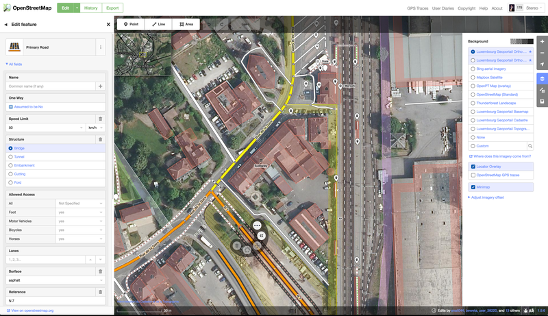
OpenStreetMap (OSM) is a collaborative project to create a free editable map of the world.
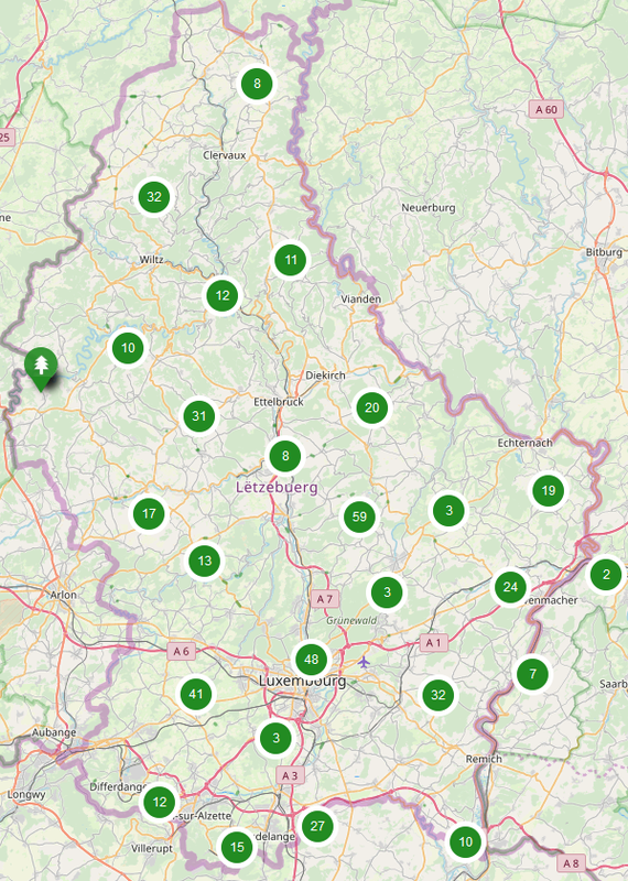
By importing the remarkable trees dataset into OpenStreetMap and, where possible, adding links to the Wikipedia articles, we now have a more complete map. This is useful for people interested in trees, generates more visibility for these special trees, and serves as landmarks for map users in general.
Used datasets 2
Discussion between the organization and the community about this reuse.
More reuses
Discover more reuses.
-
Inondations.lu widget shown in geoportail
Visualization
Published on June 24, 2022 by Administration de la gestion de l'eau
-
-
Safe Crossing Project - Potentially unsafe pedestrian…
Application
Published on May 27, 2022 by Zentrum fir Urban Gerechtegkeet
-