ChargingStations2GeoJson - Importing Chargy Dataset into OpenStreetMap
Publié le 18 mars 2018
David Morais Ferreira
1 réutilisations
Informations
- Type
- API
- Thématique
- Autres
- ID
- 5aaee33ed6686c69243a8575
Publication
Intégrer sur votre site
URL stable
Description
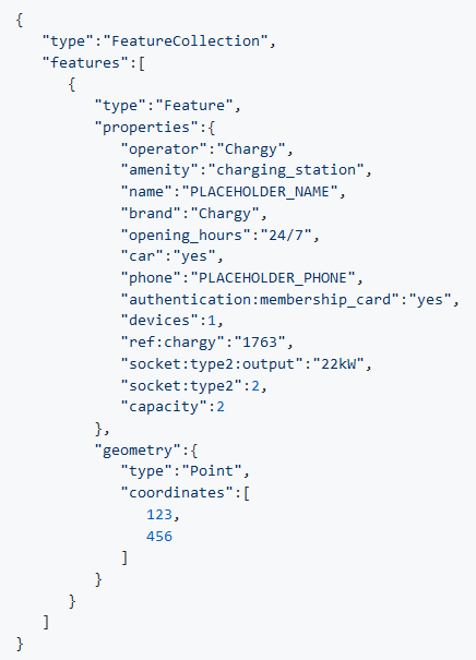
This python program processes the Chargy dataset and creates a GeoJSON file that can be imported into OpenStreetMap. To merge the updates data with the existing data, a conflation profile that can be used by OSM Conflator is provided in the main repository.
The documentation can be found on the Github repository and on the OpenStreetMap Wiki.
Jeux de données utilisés 1
Discussion entre le producteur et la communauté à propos de cette réutilisation.
Plus de réutilisations
Découvrez davantage de réutilisations.
-
Inondations.lu widget shown in geoportail
Visualisation
Publié le 24 juin 2022 par Administration de la gestion de l'eau
-
-
Safe Crossing Project - Potentially unsafe pedestrian…
Application
Publié le 27 mai 2022 par Zentrum fir Urban Gerechtegkeet
-