Luxembourg's orthoimagery and maps for OSM editors
Publié le 11 juillet 2016
OpenStreetMap
OpenStreetMap (OSM) est un projet qui a pour but de constituer une base de données géographiques libre du monde (permettant par exemple de créer des cartes sous licence libre), en utilisant le système GPS et d'autres données libres.
1 jeux de données
4 réutilisations
Informations
- Type
- Application
- Thématique
- Autres
- ID
- 5783597032cc222a2c8879b8
Publication
Intégrer sur votre site
URL stable
Description
OpenStreetMap (OSM) is a collaborative project to create a free editable map of the world.
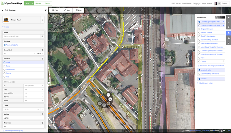
Luxembourg's official orthoimagery and maps can be used to improve OpenStreetMap. By combining open information from imagery, actual and historical maps, and their own local knowledge, mappers can create the richest, most current map.
The most popular OSM editor programs now use the Luxembourg imagery by default. To start using it, go to openstreetmap.org, find your village, and click 'Edit' at the top left. In the JOSM editor, choose 'geoportail.lu' from the Imagery menu.
Jeux de données utilisés 7
-
-
BD-L-ORTHO - Webservices WMS et WMTS
-
Carte de base - Webservices WMS et WMTS
-
Plan cadastral numérisé PCN - Webservices WMS et WMTS
-
Orthophoto (2015) du Remembrement de Stadtbredimus 2 (.tif)
-
Orthophoto (2015) du Remembrement de Stadtbredimus 2 (.jpg)
-
Orthophoto (2015) à Wintrange (remembrement viticole Wintrange 2) (.tif et .jpg)
Discussion entre l'organisation et la communauté à propos de cette réutilisation.
Plus de réutilisations
Découvrez davantage de réutilisations.
-
Inondations.lu widget shown in geoportail
Visualisation
Publié le 24 juin 2022 par Administration de la gestion de l'eau
-
-
Safe Crossing Project - Potentially unsafe pedestrian…
Application
Publié le 27 mai 2022 par Zentrum fir Urban Gerechtegkeet
-