Flood hazard maps (10 year flood)
From Administration de la gestion de l'eau
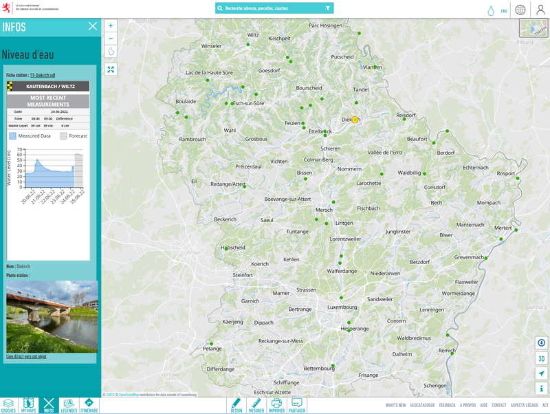
Flood hazard maps (10 year flood) based on the floods directive 2007/60/EC, showing the floodplain and the water depth of a 10-year flood event. Data not transformed into INSPIRE data model--------------------------------------- Raw data made available by the Administration de la gestion de l'eau
Metadata quality:
Data description filled
Files documented
License filled
Update frequency not set
File formats are open
Temporal coverage not set
Spatial coverage not set
Updated on June 13, 2022